There is a map – made possible by a generous grant from St Chad’s Small Grant Fund and created in the summer of 2015 as a community resource by the Apple Day group of Headingley Development Trust – which shows Headingley and the surrounding area (bounded by the ring road, Meanwood Road, Clarendon Road, Burley Road and Spen Lane). The idea of the map is to highlight some of the ‘green’ groups and activities in the area.
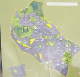
The map is currently on the wall in HEART